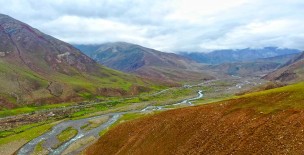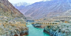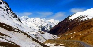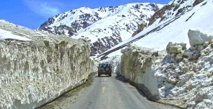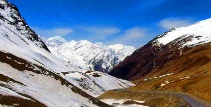


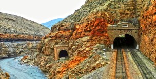
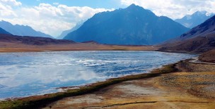
At an elevation of 4173m Babusar Pass or Babusar Top is a mountain pass at the north of the 150 km long Kaghan Valley connecting it via the Thak Nala with Chilas on the Karakoram Highway (KKH).
It is the highest point in the Kaghan Valley that can be easily accessed by cars. Babusar Pass connects Gilgit Baltistan with Khyber Pakhtunkhwa province of Pakistan.
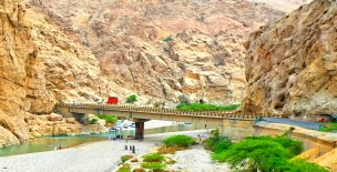
From the middle of July up to the end of September the road beyond Naran is open right up to Babusar Pass. However, movement is restricted during the monsoon and winter seasons.
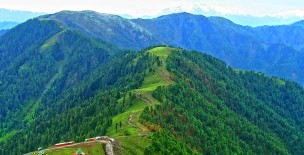
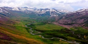
The mountain ranges which enter Mansehra district from Kashmir are the offshoots of the great Himalayan system.
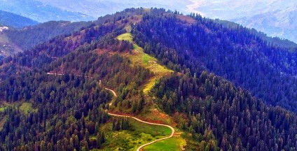
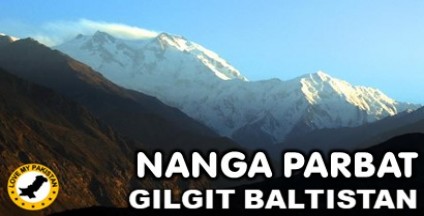
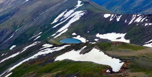
In Kaghan valley the mountain system is the highest of the area including the Babusar top.
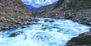
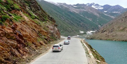
This range flanks the right bank of the Kunhar, contains a peak (Malika-e-Parbat) of over 17,000 feet (19), the highest in the district.
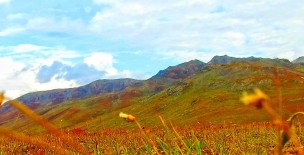
On the mountains the grasslands are also found where Gujars and other nomads migrate during summer for grazing their sheep, goats and other animals.
On the northern side there are mountains which are the extension of the same mountain system as that of Kaghan mountains.
This range diverges from the eastern side at Musa-ka-Musalla a peak (13,378 feet) (20), which skirt the northern end of the Bhogarmang and Konsh valleys, and sends down a spur to divide the two.
Here also, like Kaghan, thick forests are found especially on the higher slopes. Due to extensive exploitation only in unapproachable areas the thick forests are found.