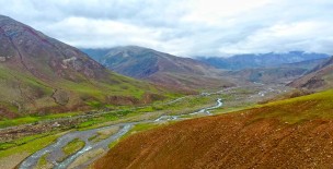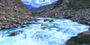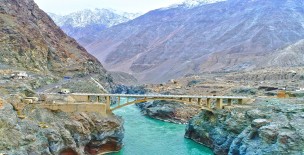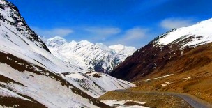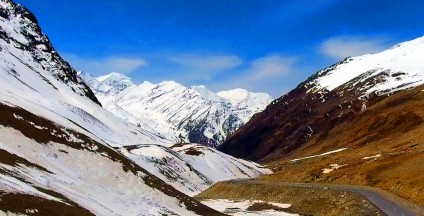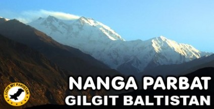
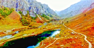
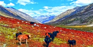
Khunjerab Pass (elevation 4,693 metres or 15,397 feet) is a high mountain pass in the Karakoram Mountains in a strategic position on the northern border of the Pakistani region of Gilgit–Baltistan Hunza – Nagar District on the southwest border of the Xinjiang region of China. Its name is derived from two words of the local Wakhi language: 'Khun' means Home and 'Jerav' means a creek coming from spring water/water falling.
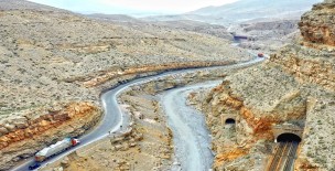
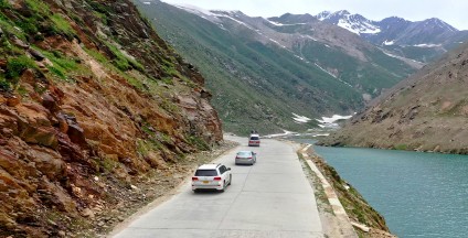
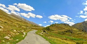
The Khunjerab Pass is the highest paved international border crossing in the world and the highest point on the Karakoram Highway.
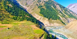
The roadway across the pass was completed in 1982, and has superseded the unpaved Mintaka and Kilik Passes as the primary passage across the Karakoram Range.
The choice of Khunjerab Pass for Karakoram Highway was decided in 1966: China citing the fact that Mintaka would be more susceptible to air strikes recommended the steeper Khunjerab Pass instead.
On the Pakistani - administered side, the pass is 42 km (26 mi) from the National Park station and checkpoint in Dih, 75 km (47 mi) from the customs and immigration post in Sost, 270 km (170 mi) from Gilgit, and 870 km (540 mi) from Islamabad.
On the Chinese side, the pass is the southwest terminus of China National Highway 314 (G314) and is 130 km (81 mi) from Tashkurgan, 420 km (260 mi) from Kashgar and some 1,890 km (1,170 mi) from Urumqi.
The Chinese port of entry is located 3.5 km (2.2 mi) along the road from the pass in Tashkurgan County.
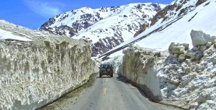
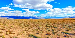
The long, relatively flat pass is often snow-covered[2] during the winter season and as a consequence is generally closed from November 30 to May 1.
Since June 1, 2006, there has been a daily bus service across the boundary from Gilgit, to Kashgar, Xinjiang.