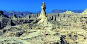
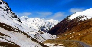
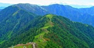
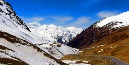
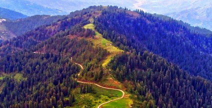
Musa ka Musalla is a peak standing at an altitude of about 4,100 metres (13,500 ft) at the junction of Siran and Kaghan Valleys in Himalayas.
It is situated 150 kilometres (93 mi) north of the city of Abbottabad in Balakot Tehsil of Mansehra District.
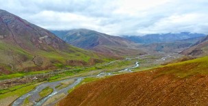
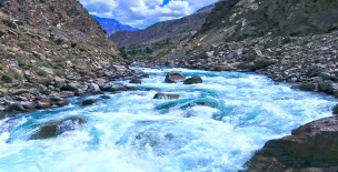
Musa ka Musalla is situated in the Allai, Manshera District, Khyber Pakhtunkhwa, Pakistan (34.713678, 73.360806). The water moving downstream from the glacier is the source of river Siran.
The name Musa ka Musalla translates to Moses' mat. The legend has it that a shepherd named Musa used to pray there at the peak.
There is also a shrine at the top probably of the same shepherd who is revered to as a saint by locales.
The peak is accessible via three routes in summers but all needs hours of trekking.
1. From Mandakuch/Jacha village. One can reach here through Mansehra/Shinkiari. The trek to the top takes 7-8 hours from there.
2. From Naddi Bangla. One can reach here from Balakot on a jeep road. From here one can take either of the two routes: a) Bagheer meadows route towards Northeast of Naddi Bangla b) Maidan route towards Northwest. Both the approaches converge at Thandigali where one can also camp.
3. From Kund Bangla / Shaheed Pani. There are forest rest houses on both the places and they can be reached via Masehra/Shinkiari. This is the longest path but is less hectic in terms of ascend.
4. From Sharan. It can be reached through Paras. This is the most difficult option in terms of steepness.
Khyber Pakhtunkhwa - Musa Ka Musalla - Kaghan Valley
Related Videos
Leave a Comment:
For comment please login first: Login here
