Tharparkar region derives its names from Thar and Parkar. The name Thar is from Thul, the general term for sand region or sand ridges and Parkar literary means “to cross over”.
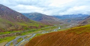
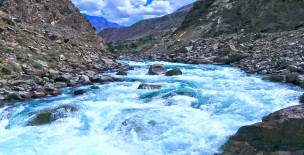
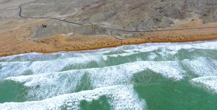
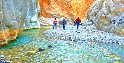
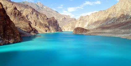
There is no stream of fresh water in the region. However, in Nagarparkar there are two perennial springs, namely Anchlesar and Sardhro, as well as temporary streams called Bhatuyani River and Gordhro River which flow during the rainy season.
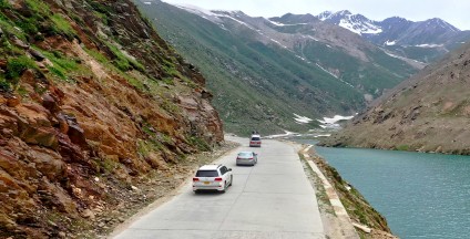
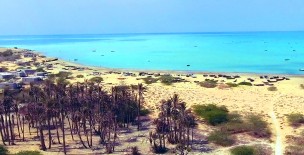
The Thar Region forms part of the bigger desert of the same name that sprawls over a vast area of Pakistan and India from Cholistan to Nagarparkar in Pakistan and from the south of the Haryana down to Rajasthan in India.
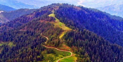
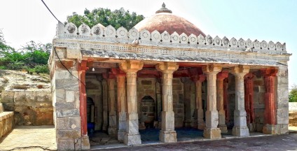
The desert's part in Pakistan also has a rich multifaceted culture, heritage, traditions, folk tales, dances and music due to its inhabitants who belong to different religions, sects and castes.
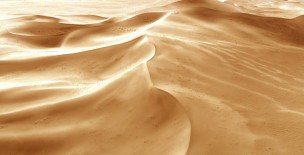
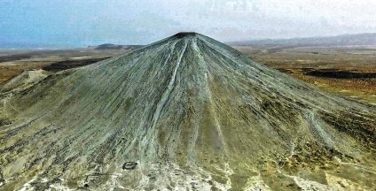
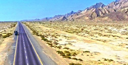
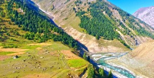
The area is mostly deserted and consists of barren tracts of sand dunes covered with thorny bushes. The ridges are irregular and roughly parallel, they rise to a height of about 46 metres and often create valleys.
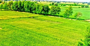
When there is rain these valleys are moist enough to allow cultivation and when not cultivated, grass grows. The extraordinary salinity of the subsoil land and consequent shortage of potable water renders many quite picturesque salt lakes which rarely dry up.
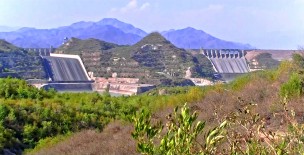
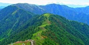
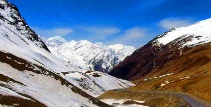
The only hills are in Nagarparkar, on the Northern edge of the Runn of Kutchh, which belong to quite a different geological range. It consists of granite rocks, probably an outlying mass of the crystalline rocks of the Arravelli range.
The Arravelli range belongs to the Archean system which constitutes the oldest rocks of the earth's crust. This is a small area quite different from the desert.
The principle range Karoonjhar is 19 km in length and attains a height of 305 m. Smaller hills rise in the east, which is covered with jungle and pasturage and gives rise to two springs named Anchlesar and Sardhro as well as temporary streams called Bhatyani and Gordhro after the rain.