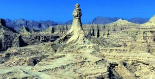
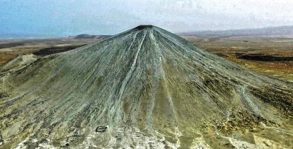
Karakuli/Karakul is a table-top mountain at Dargai Sargarh village, in the district of Loralai, Balochistan.
The GPS coordinates of this rock are 30°32'51.23"N and 68° 4'15.12"E.
Although locals use various names for this mountain such as Chinali, Chinjinr Sar and Dargai, however, Karakoli is the most common one, reminiscing Quaid-e-Azam's unique cap design.
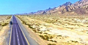
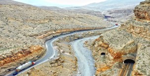
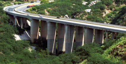
This beautifully crafted knoll is about 427 km (8 hrs) from Multan City (via Loralai) and approximately 195 km (3 hrs) from Quetta city (via Qilla Saifullah). This is the CPEC East West Corridor.
Road conditions from Quetta to Qilla Saifullah are perfect, however, from Loralai, the road is uneven/in shambles (traveling time approximately an hour).
A bit inclined upward from the Western side this mountain attains a maximum height of 7,835 feet, whereas the ground level at the Chinali village is around 6,800 feet.
This clearly indicates that this rocky formation is above 1,000 feet tall from its base. The total area of this Karakuli mountain top is approximately 9.25km, as measured by Google Earth Pro.
Maximum length of the mountain is 4km from one end to another and maximum width is approximately 0.75km, measured via Google Earth Pro.
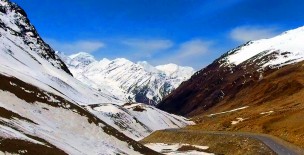
This hillock is devoid of any trees, however, wild shrubs, herbs and flora are present all over the top, as well as the landscape.
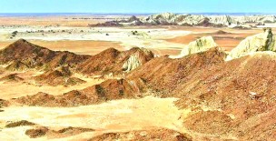
Significant tectonic rock layers of various colours can easily be seen reminding that this dome belongs to prehistoric era.
